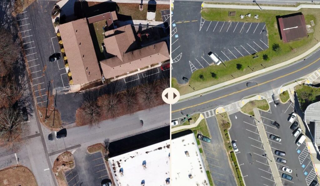
Sometimes it’s easy to forget how far we’ve come without a point of reference. This is certainly true in Downtown Tucker and in many ways it’s the reason this site exists. Our partners at the City of Tucker are equally committed to improving downtown and the team at InterDev is helping us track our collective progress. InterDev has a story map showing imagery, taken as part of the InterDev Drone Program, comparing images from 2018 to 2022.
The story map allows users to scroll back and forth to see the changes made over the last four years. Specifically the creation of the Church Street Green, the completion of Streetscape Phase II, and the beginning of the trail system in the alleys. You can also see improvements to several commercial properties. The work in Downtown Tucker isn’t finished, but the progress is worth remembering and sharing. Here is a link to the map, Downtown Tucker Streetscape.
